Salton Sea
|
|
click photo to enlarge |
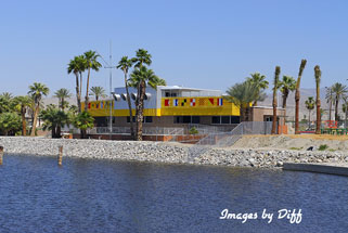
The Salton Sea is along the San Andreas fault and the surface of the sea is
226 ft. below sea level. It is approximately 15 miles wide by 35 miles long.
The size is approximate because it varies from year to year depending on
rainfall. The sea has no exit so water evaporates leaving behind salts. |
click photo to enlarge |
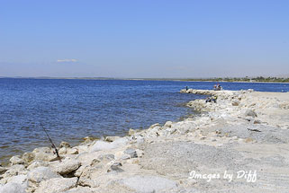
The current Salton Sea was created by accident in 1905 when heavy rainfall
caused the Colorado river to over run a set of gates on the Alamo Canal. The
resulting floodwater breached a dyke in the Imperial Valley and the result
was the entire flow of the Colorado river was flowing into the Salton Sink
for two years before it could be fixed creating the present Salton Sea. |
click photo to enlarge |
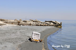
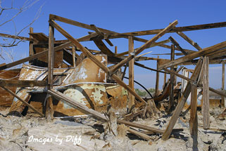
In the 1920's and later years the area developed into a tourist attraction
and in the 1950s a desert playground with the development of the North
Shore and Bombay beach. Problems with rising sea levels due to a few years
of heavy rains caused Bombay Beach to start sinking. This and other
ecological issues caused people to stop coming. The ruins of towns still
exists today. |
click photo to enlarge |
click photo to enlarge
|
|
|
|
|
|
|
|
|
|
|
|
|


