Owens Valley California
click photo to enlarge
click photo to enlarge
click photo to enlarge
click photo to enlarge
click photo to enlarge
Owens Valley California |
|
|
click photo to enlarge |
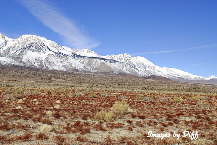
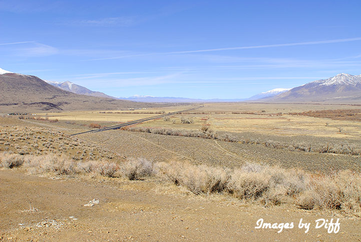
Owens Valley is a North South Valley bounded be the Sierra Nevada Mountains to the west an the Inyo and Coso mountains on the east. The valley is about 75 miles long. The valley is in the rain shadow of the Sierra's so get very little rain. |
|
click photo to enlarge |
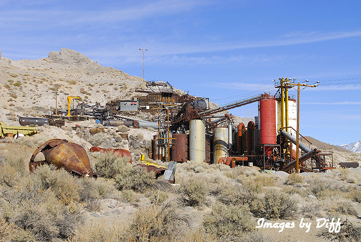
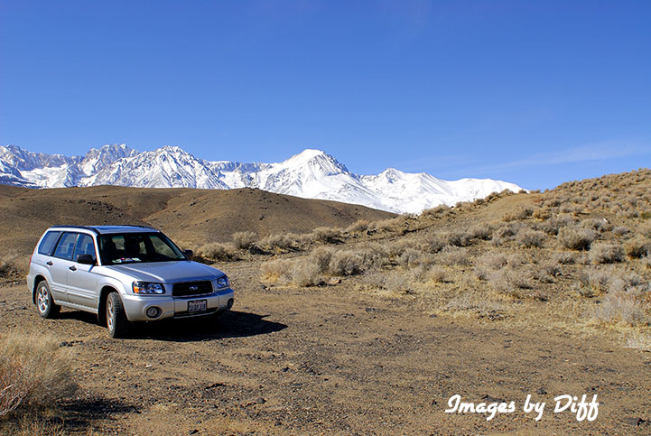
The mountains on either side can reach elevations of 14,000 ft while the valley floor is around 4,000 ft, making Owens valley one of the deepest in the US. The valley provides 1/3 of the water to the Los Angeles basin via the Los Angles Aqueduct. The Aqueduct is 223 miles long and diverted so much of the water in the valley that Owens lake became a dry lake bed of nothing more then alkali. The alkali causes some severe alkali storms and some of the worst air pollution in the US. In the late 1990's after a legal battle the LADWP started rewatering the Owens river. For more information see the California Water Wars. |
|
click photo to enlarge |
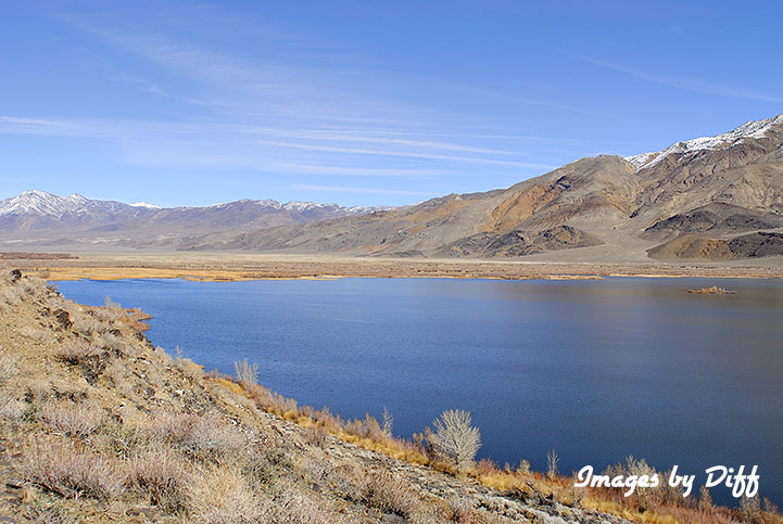
The water to the lest is the Tinemaha Reservoir about half way between Independence and Bishop. The view directly below shows the mountains on both sides and the valley floor. |
|
click photo to enlarge |
click photo to enlarge |