Timber Mountain
|
|

click photo to enlarge |
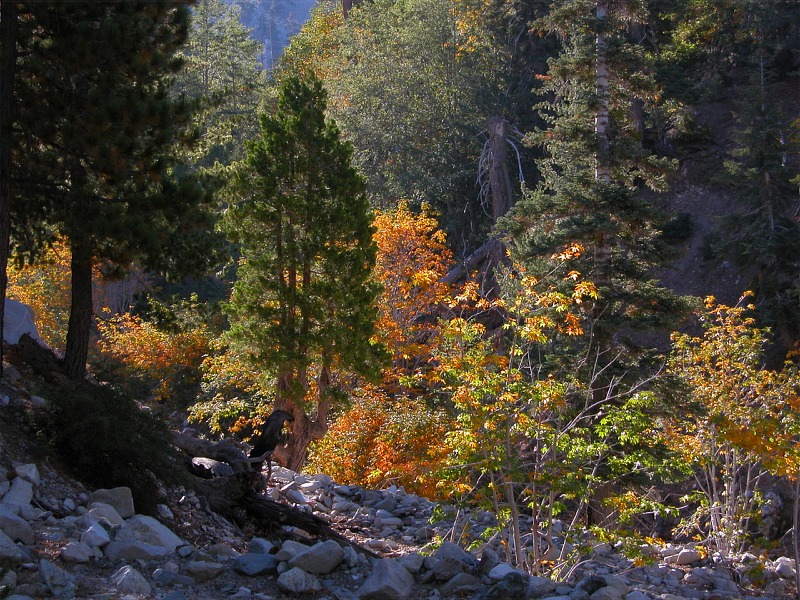
I finally bagged my first peak and it was Timber mountain. It was fall and the
leaves were just starting to turn colors on the deciduous trees in the lower
elevations.
|
click photo to enlarge |
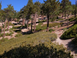
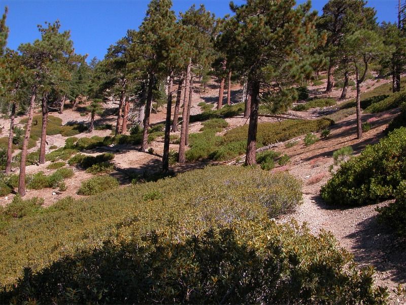
As I get higher the trees become all pines. This picture was taken just
after reaching Ice House Saddle. The trail gets even steeper then it has
been to this point. Ice House Saddle is 3.5 miles from the starting point
and 2700 foot elevation gain.
|
click photo to enlarge |
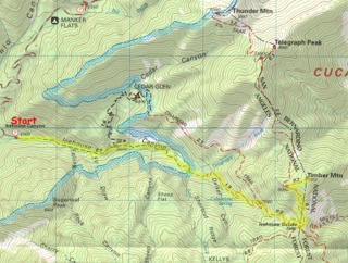
This topographical map shows the trail I took. The total hike was almost 9
miles round trip with an elevation gain of 3340 ft. The peak of Timber mountain
seems to be in both the Angeles National Forest and the San Bernardino
National Forest.
|

click photo to enlarge |
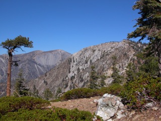
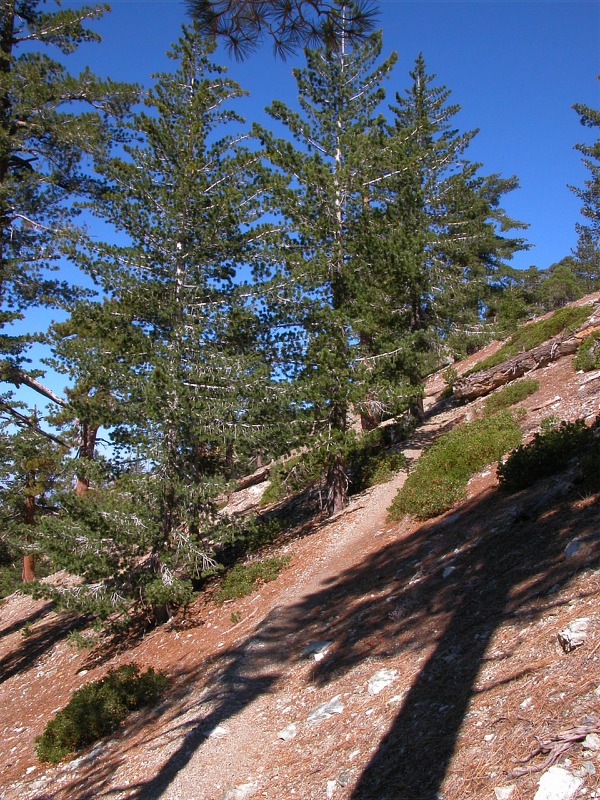
This is taken on the final push to the top. It gets very steep and the trail
gets vary narrow.
|
click photo to enlarge |
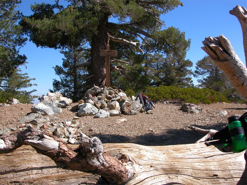
These last 2 pictures are taken at the peak at an elevation of 8303 ft. I
spent about an hour at the peak eating lunch and just enjoying the views.
While I was there one other hiker joined me. It took just over 3 hours to reach the
peak and just over 2 to hike back down.
|
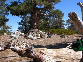 |
At the peak there is this rock pile and a sign in the middle. I am guessing
it marked the peak as it is about the same shape and size of other trail
markers but any writing on it was gone.
|
|
|
|
|
|
|
