Lake Mead
click photo to enlarge
click photo to enlarge
click photo to enlarge
click photo to enlarge
click photo to enlarge
Lake Mead |
|
click photo to enlarge |
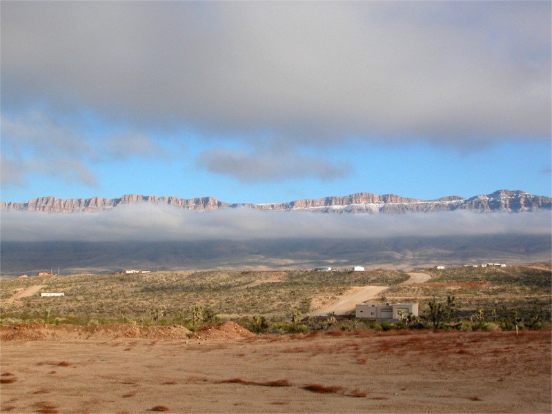
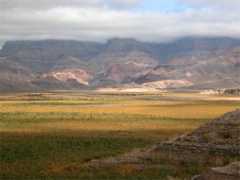
After the West Rim we drove to see Lake Mead. This is the town of Meadview. It was a very pretty day for pictures. Soft winter lighting, low hanging clouds and some blue sky showing through. |
click photo to enlarge |
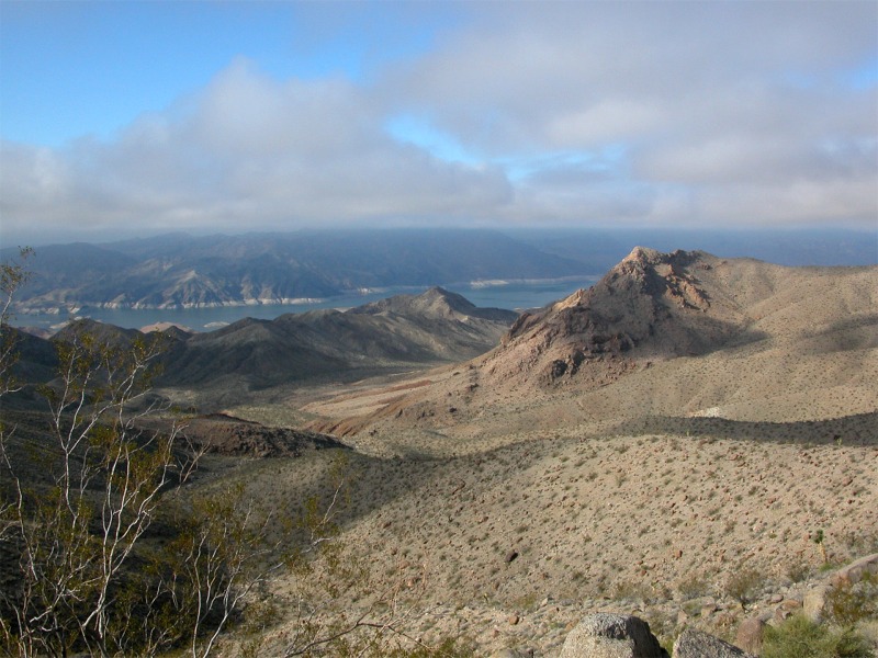
We are at the very eastern edge of Lake Mead near where the Colorado river empties into it. |
click photo to enlarge |
As you can see the water level is down. In fact down by about 80 to 100 feet. For some satellite photos and information click this link. |
click photo to enlarge |
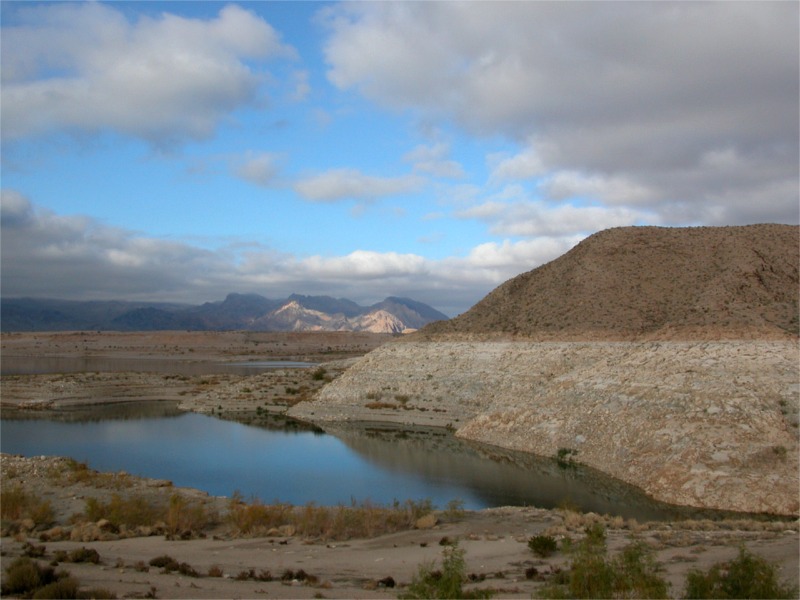
Over the years, depending on the amount of rain Lake Meads water level have risen and dropped from 1220 ft Max. elevation in 1940 to 1100 ft. in 1964. Lake Mead supplies not only recreational opportunities but is one of the most important sources of water for Arizona, Nevada and California. |
click photo to enlarge |
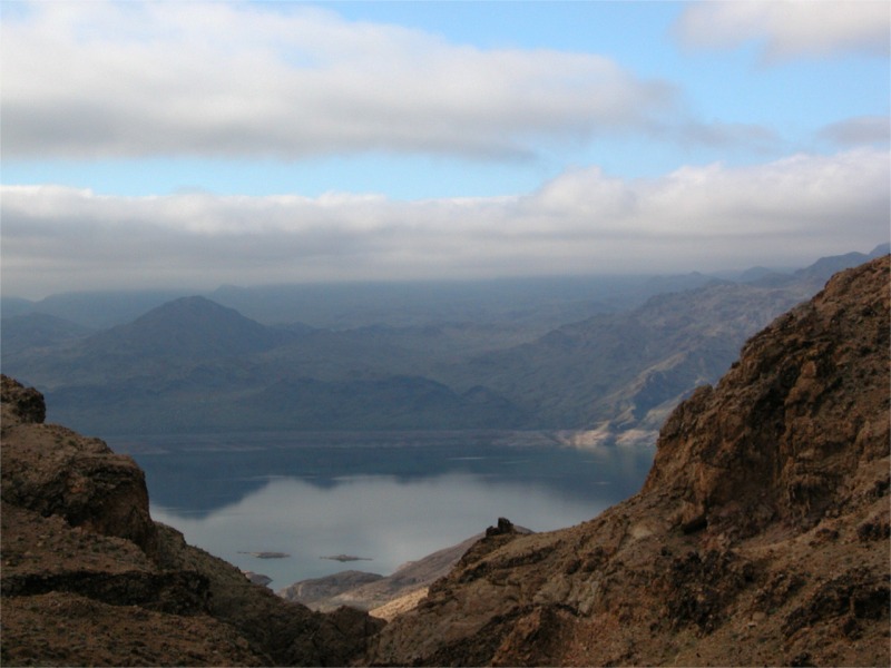
This area is Pierce Ferry. At one time in the 30's they were going to build a resort area here but it never materialized. There are remnants of things the Civilian Conservation Corps (CCC) started. The area in the picture has water in it when the lake level is higher. |